
GeoCue TrueView 720 Sensor
Description
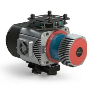
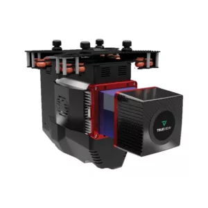
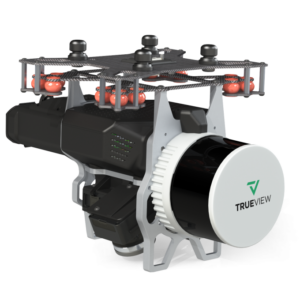
A New Class of System for New Challenges: GeoCue TrueView 720 Sensor with 3 LiDAR + imagery sensors
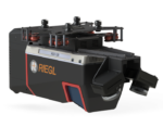
TrueView 720 is our fourth generation RIEGL integration. This is the system for high point density corridor mapping. Using the RIEGL VUX-120 with 3 lidar scanners (oriented nadir and +10 degrees forward and -10 degrees backward) and 3 oblique/nadir cameras for extremely detailed data collection in one flight path. When scanning power lines, users will be able to capture the poles vertically, front and back. Ask about custom camera configurations to cover your specific needs.


Add a review
You must be logged in to post a review
Log In
Reviews
There are no reviews yet